Product Description
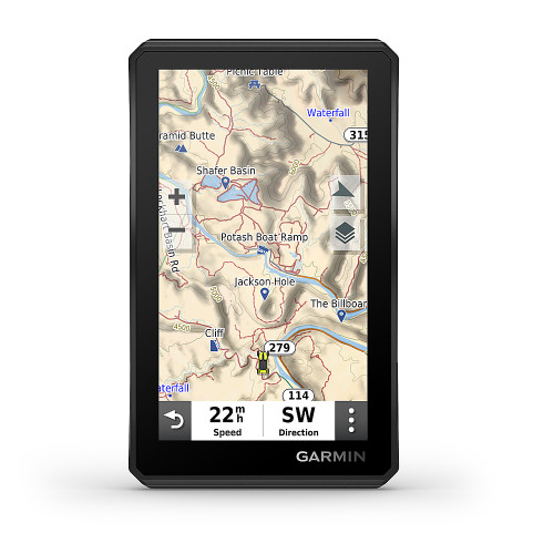
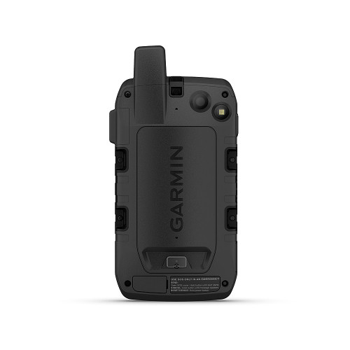
Go explore the outdoors — and stay connected to home — with the GPSMAP 67i handheld. Using inReach technology, this button-operated GPS handheld and satellite communicator enables two-way messaging and location tracking (active subscription required; some jurisdictions regulate or prohibit the use of satellite communications devices). You can also trigger an interactive SOS to Garmin Response, a 24/7 staffed emergency response coordination center. Navigate confidently with preloaded TopoActive mapping and satellite imagery. When paired with your compatible smartphone, you can access active weather forecasts and Geocaching Live. Use the Garmin Explore website or app on your compatible smartphone to help you plan trips and more, and download premium maps with an Outdoor Maps+ subscription. During extended activities, turn on expedition mode for up to 425 hours of battery life in 30-minute tracking mode.Other Details
Product Videos
Custom Field
Case Included No
Water Resistant Yes
Maximum Depth Of Water Resistance 3 feet
Product Width 2.5 inches
Rechargeable Battery Yes
Display Type TFT
Product Depth 1.4 inches
Manufacturer's Warranty - Parts 1 year limited
Location Reporting Yes
Color Black
Geocaching Mode Yes
Expandable Storage Yes
Electronic Compass Yes
Internal Memory Capacity 16 gigabytes
Touch Screen No
Screen Size 3 inches
Sun/Moon Information Yes
Product Height 6.4 inches
Uploadable Maps Yes
Hunt/Fish Calendar Yes
Bluetooth Enabled Yes
Programmable Routes Yes
Emergency Services Locator Yes
Number Of USB Port(s) 1
Computer Compatibility Apple iOS
Wi-Fi Built-in Yes
Backlit Display Yes
Barometric Altimeter Yes
3D-Map View Yes
Internal Memory Yes
Product Weight 0.5 pounds
Color Category Black
Model Number 010-02812-00
Topographic Maps Yes
Pedestrian Mode Yes
Smartphone Compatibility Enabled
Battery Type Lithium-ion
Product Name GPSMAP 67i 3" GPS with inReach Satellite Technology and Built-In Bluetooth
Memory Card Slot Yes
Manufacturer's Warranty - Labor 1 year limited
Brand Garmin
Number Of Waypoints 20000
Designed Usage Hiking
Color Display Yes
Integrated Base Maps Yes
Map Coverage Area North America
Resolution 240 x 400


